
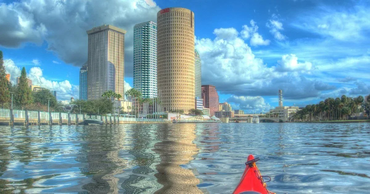

Showers are likely across Tampa Bay today, and it'll get cooler as the day goes on. Saturday is hit or miss. Sunday is the dry, sunny day.
By Joseph J. Jackson | TAMPA BAY (Nov. 20, 2026)
Numbers are from the National Weather Service's 7:17 p.m. Thursday point forecasts.
The short version
Today: scattered showers, 50% in Tampa and St. Petersburg, 60% in Lakeland and Brooksville, 40% in Sarasota. Highs in the mid-70s this morning, then temperatures slip to around 72 by afternoon.
Saturday: mostly sunny with a 20% to 30% chance of a passing shower. Highs 75 to 78.
Sunday: mostly sunny everywhere. Rain chances drop below 10%.
Your forecast
Tampa: today high 77, falling to about 72 in the afternoon, 50%. Northeast wind 12 mph, gusts to 20. Tonight low 67, 30%. Saturday high 78, 30%. Sunday high 78, mostly sunny.
St. Petersburg: today high 75, 50%, the windiest spot: northeast 16 mph, gusts to 23. Tonight low 68, 20%. Saturday high 75, 20%. Sunday high 75, mostly sunny.
Lakeland: today high 77, falling to about 72, 60%, with a half to three-quarters of an inch of rain possible. Tonight low 67, 40%. Saturday high 78, 30%. Sunday high 79.
Brooksville: today high 76, 60%. Tonight low 66, 30%. Saturday high 77, 30%, with a chance of thunderstorms. Sunday high 78, sunny.
Sarasota: today high 78, 40%. Tonight low 68, 40%. Saturday high 77, 20%. Sunday high 77, mostly sunny.
How much rain?
Not much along the coast. The Weather Service expects a tenth to a quarter of an inch in Tampa, St. Pete and Sarasota today. Inland gets more: a half to three-quarters of an inch in Lakeland, and a quarter to a half inch around Brooksville.
Any flood watches here?
No. There's no flood watch or warning for any Tampa Bay county as of Thursday night.
It's a different story on the other coast. Flood watches cover much of East-Central and Northeast Florida through 7 p.m. today, and the St. Johns River near Cocoa broke a flood record set in 1953. Gov. Ron DeSantis's flood emergency now covers 21 counties, none of them in Tampa Bay. Read our Broward flood coverage.
What about the system near the Bahamas?
The National Hurricane Center is watching for a low to form near the northwestern Bahamas today. It gave the system a 60% chance of becoming a subtropical or tropical storm over the next seven days, moving north or northeast near or just off the Southeast coast. That track points it toward the Atlantic side, not the Gulf. For Tampa Bay, the main effect is the gusty northeast wind today.
What to do
Give yourself extra time on this morning's commute, especially inland along I-4.
Turn around if a road is flooded. You can't tell how deep it is.
Boaters: expect a choppy bay with northeast gusts in the low 20s.
Save outdoor plans for Sunday.