
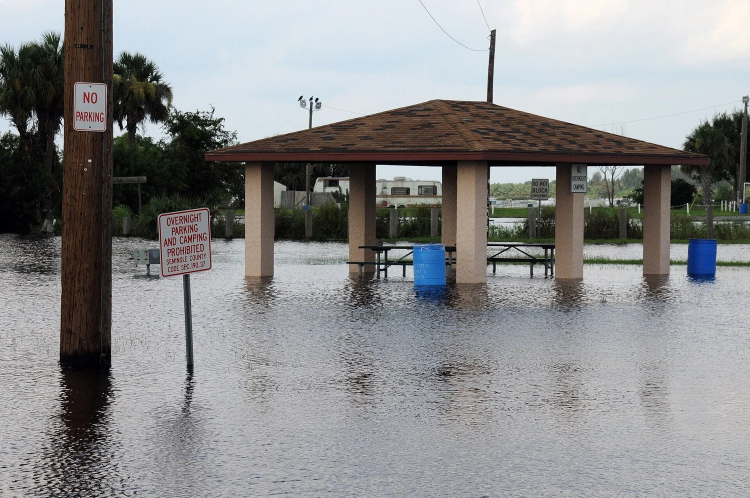

The St. Johns River near Cocoa stood at 18.75 feet Friday evening, the highest ever measured there, and it isn't done. Water managers expect it to crest at 18.8 feet Saturday and stay above moderate flood stage for two to three months.
By Joseph J. Jackson | TAMPA BAY (Nov. 21, 2026)
The short version
Record: the river near Cocoa passed its 1953 record Thursday and kept rising, to 18.75 feet Friday evening. Forecast crest: 18.8 feet Saturday.
Slow river, long flood: above Lake Harney it's forecast to crest at a record 13 feet Sunday. Downstream, Sanford, DeLand and Astor crest over the next week to week and a half.
Rescues: nearly 100 high-water rescues in Brevard County Thursday, according to Sheriff Wayne Ivey. About 200 National Guard members and 50 high-water vehicles are deployed.
How high is the river, gauge by gauge?
The St. Johns River Water Management District's numbers, as reported Friday evening:
Near Cocoa: 18.75 ft now, crest 18.8 ft Saturday. Record. Could stay at or above moderate flood stage for two to three months.
Above Lake Harney (Geneva): 11.54 ft now, crest 13 ft Sunday. Record. One to two months.
Near Sanford: 6.7 ft now, crest 8 ft Wednesday. Major. Two to three weeks.
Near DeLand: 4.91 ft now, crest 6 ft Tuesday. Major to near-record. About a month.
At Astor: 3.95 ft now, crest 4.1 ft Saturday. Major. One to two months.
Why does it take so long?
The St. Johns is a slow, flat river that drains north, so water from rain that already fell keeps arriving downstream for days. The district says levels will keep rising and stay high as runoff moves through, even where the rain has stopped. Seminole County Emergency Manager Alan Harris said flooding along the river there could last through mid-December.
Who is being hurt right now?
Brevard County took the worst of it this week. Sheriff Wayne Ivey said deputies made nearly 100 high-water rescues Thursday. In Palm Bay, some residents of a mobile home community were ordered to evacuate, and shelters opened. The state Division of Emergency Management said about 200 Florida National Guard members and 50 high-water vehicles were deployed, and the Florida Fish and Wildlife Conservation Commission had about 235 officers responding, the Associated Press reported.
One Melbourne resident told the AP her home flooded for the second time in two weeks.
Is more rain coming?
The AP reported 2 to 6 more inches expected on parts of the east coast through Saturday, with some places getting 8 to 10. Some spots have had more than 17 inches since Tuesday, according to preliminary National Weather Service totals. The low off the coast had a 30% chance of becoming Subtropical or Tropical Storm Kyle within two days, and 50% within seven, in the National Hurricane Center's 7 a.m. Friday outlook, with gusty winds, rough surf and coastal flooding expected either way.
What does this mean for Tampa Bay?
Tampa Bay isn't in the flood zone. If you're headed east on I-4 or up I-95 this weekend, check FL511 before you go. FMNN covered the record and the 21-county emergency on Thursday and what the state knew before the water came.