

Showers started on the Nature Coast and are spreading inland. Most of west Florida should get about an inch a day or less, but forecasters flag a higher risk of flooding rain inland Thursday and Friday.
By Joseph J. Jackson | TAMPA BAY (Nov. 17, 2026)
Forecast as of the National Weather Service Tampa Bay office's 4:34 a.m. Tuesday discussion. We'll update this story if it changes.
The short version
Today: Mostly cloudy to overcast, with periods of showers mainly along the Nature Coast, spreading inland.
How much: Daily totals "around an inch or less across the majority of W FL," the Weather Service says, with more where storms keep moving over the same spot.
Flooding: No flood watch for Tampa Bay or the Nature Coast. But forecasters say heavier or persistent showers could cause localized flooding, and the national Weather Prediction Center flags interior west Florida for excessive rain Thursday and Friday.
The week ahead
Rain stays on and off from Wednesday through Friday as a low in the Gulf drifts across Florida. Drier air should move in over the weekend as the wind turns to the north.
Thursday: a Marginal Risk (level 1 of 4) of excessive rainfall, mainly over interior west Florida.
Friday: the Marginal Risk shifts to the interior and the Nature Coast, with a Slight Risk (level 2 of 4) over the far interior, including parts of Polk, Sumter and Levy counties.
A Marginal Risk means isolated flooding is possible. A Slight Risk means scattered flash flooding is possible.
North of Tampa Bay: Pasco, Hernando and Citrus
The Nature Coast got the first rain this morning. The region was dry going in: the Weather Service's regional headline Monday night said abnormally dry to moderate drought conditions continue across west central and southwest Florida, so steady rain is welcome. The concern is the heavier bursts, especially later in the week in Sumter and Levy.
RELATED: Tampa Bay's week: warmer, windy, rough water on the Gulf · Hillsborough could lose $260 million in Amendment 3's first year
On the water
A Small Craft Advisory runs until 7 a.m. Friday for Gulf waters from Bonita Beach to the Suwannee River, out to 60 nautical miles, including Tampa Bay, Charlotte Harbor and Pine Island Sound. Gusty northeast winds will keep conditions hazardous on the eastern Gulf most of the week.
The east coast gets the worst of it
The Weather Service's Melbourne office put most of east central Florida under a flood watch from Tuesday afternoon through Friday evening: Volusia, Seminole, Orange, Osceola, Okeechobee, Brevard, Indian River, St. Lucie and Martin counties, with 3 to 6 inches of rain forecast and localized totals of 8 to 12 inches. The Miami office issued a flood watch for coastal and metro Palm Beach County. If you're driving to Orlando or the east coast this week, check before you go.
What to do
Don't drive through standing water. You can't see how deep it is or whether the road under it is gone.
Clear leaves out of the storm drain and gutters near your home.
Boaters: stay in port until the advisory ends Friday morning.
Watch for warnings from the Weather Service's Tampa Bay office (weather.gov/tbw) and your county's emergency alerts.
Sources
National Weather Service Tampa Bay, Area Forecast Discussion (4:34 a.m. Nov. 17)
NWS Melbourne flood watch for east central Florida (Nov. 16), via GovOneStop
NWS Miami flood watch for Palm Beach County (Nov. 16), via GovOneStop
WKMG News 6: Flood watch issued for parts of Central Florida
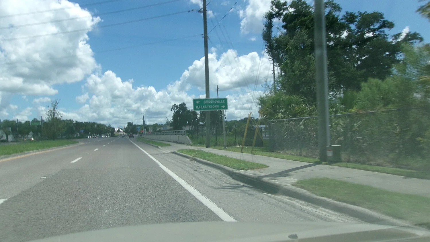
Photo: Florida State Road 50 near U.S. 41 in Brooksville, by DanTD, CC BY-SA 4.0, via Wikimedia Commons.